Session, Annual Meeting of the Association of American Geographers, San Francisco, 30. März 2016
Anna Ramella: Mediating home between profession and personal journey among highly mobile young musicians
Hendrik Bender: Drone Media: Navigation and operative imagery of flying cameras
Simon Hirsbrunner: Geo-visualities in motion: flood maps in the context of climate change futures
Tristan Thielmann: Location-based photography: A historical ethnography of augmented reality navigation devices
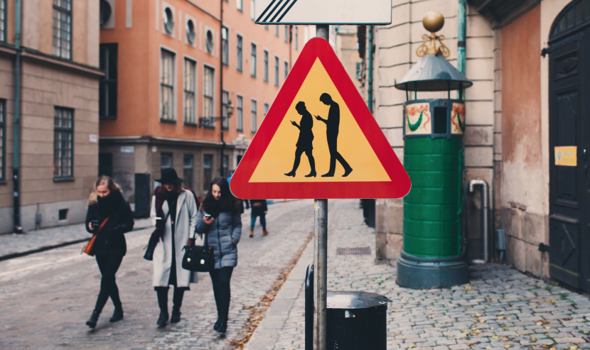
If the basis of all knowing and mapping lies in bodily movement, are we currently in the process of moving toward a deambulated essentialism that could be termed a “navigational turn” in cultural and social science? With the emergence of augmented reality smartphone applications, a new generation of users browses data directly, as they are represented on the screen, within the spatial context off the screen. These second-generation locative media converge the practices of browsing, touring, tagging, and wayfaring by layering geocoded data onto the grid of live-captured video camera images (Hjorth/Pink 2014).
This development indicates that digital technologies have reconfigured the experience of mapping into navigational platforms such that the navigational interpretation of digital maps is increasingly taking precedence over their mimetic interpretation. During geobrowsing, “looking at a map” has been replaced by “logging into a navigational platform,” which operates with images that are mere intermediary instances in a long cascade of inscriptions, as November et al. (2011) describes it.
This panel will discuss how mobile (digital) practices fixate the relationship between on-screen and off-screen space and how they shape the ecologies of places where people, things, and signs are increasingly entangled. Are we on the way to a society of digital deambulation—a perpetual oscillation between online/offline everyday spatial practices?
Social anthropology describes navigation as a form of “perambulatory movement” (Ingold 2011 through which human existence develops, not place-bound but place-binding, as everyday life is not unfolded in places but along paths. The understanding of movement over land as tracing lines of becoming is useful as a visual metaphor for the activity streams of data that are processed while using mobile media technologies; moreover, it also advocates an ontogenetic interpretation of maps as always being in the process of becoming.
Since Jeremy Crampton’s call for the new paradigm of “Maps 2.0,” we have seen a shift from “Google on maps” to “Google distributed across a variety of geo-imagery.” Considering the emergent everyday practices of drone sensing, considering the variety of distributed smart maps, and considering the fact that maps are not only becoming more adaptive but also scale up to active agents of push technologies, don’t we already have to talk about “Maps 4.0” phenomena, which are indicators of a digital society as well as a trailblazer for a “geoweb of things?”
References
Crampton, Jeremy (2009): “Cartography: Maps 2.0,” in: Progress in Human Geography 33(1), 91-100.
Hjorth, Larissa; Pink, Sarah (2014): “New visualities and the digital wayfarer: Reconceptualizing camera phone photography and locative media,” in: Mobile Media & Communication 2(1), 40-57.
Ingold, Tim (2011): Being Alive: Essays on Movement, Knowledge and Description, London/New York: Routledge.