Presentation by Tristan Thielmann at the 29th International Cartographic Conference in Tokyo, 15–20 July 2019
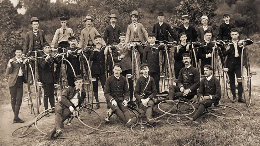
At the end of the 19th century, the bicycle was a medium used for land development, connection, sensing and routing. This article explores these features of the bicycle based on the League of American Wheelmen bulletins that were published between 1880 and 1902. The enquiry shows that the bicycle constitutes a rural geomedium since the first cyclists regarded themselves as land surveyors. Furthermore, the bicycle, as a vehicle that is connected to an individual, links the starting and end points of a route – without stops on the way and without changing vehicles. This continuity of movement is a highly essential property of the medium ‘bicycle’. Being awheel and making the countryside ac¬cessible cartographically are therefore closely linked to each other; they take place in one and the same procedure as part of the joint practice of land surveys. During this process, the bicycle proves to be an ideal instrument for the sensing of road surface conditions and therefore functions as a mediator between the road and the cyclist. It also serves as a mediator between urban and rural areas and as a connected device: the bicycle is the condition for cooperation for Bicycle Clubs, which enjoyed enormous popularity at the end of the 19th century. It facilitated the cooperative experiencing and exploring of the land that had yet not been documented cartographically and, in turn, yielded its own new form of presentation: navigable maps in the form of route guides.

